 _Ottimizzazione del terreno.
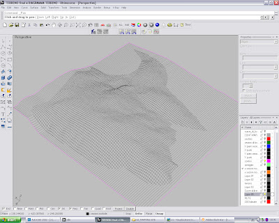
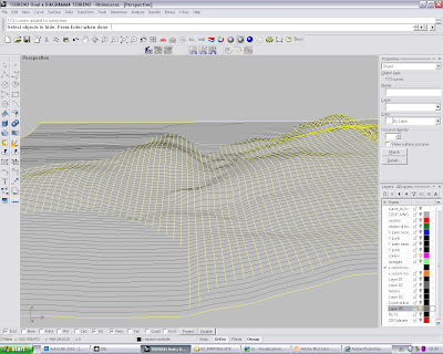
I am making the terrain in Rhino because I need a surface to create a net Voronoi on the area of project and to throw it in Ecotect to make some diagrams of the climate in Thailand.
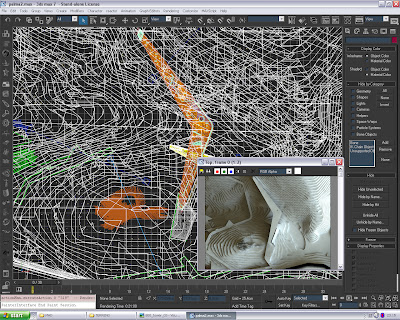
After having spent one afternoon to now model in Rhino I have a light mesh that I can maneuver in the various softwares. The terraces solution (curves of level it extruded) it was too much heavy to work us.
I have followed the tutorial of Philix done time ago on Treddi.com, always on this discussion they have opened some ideas on as to automatize by script. Es. to realize the mesh of the ground from a pointcloud.
For now I have tried to export the cloud of points as file txt and to bring it on excel, in this way, once incolonante the cordinates x, y and z of the points it is had a greater control, it doesn't stay whether to open it in rhino and possession a cloud of points corrected. It will be a lot of profit when I will have the climatic data transposed in excel and then thrown on rhino to create checked surfaces and diagrams. There is a plugins... it calls PointCloud 1.0.
//////////
Sto facendo il terreno in Rhino perchè ho bisogno di una superficie per creare un Voronoi a rete sull'area di progetto e per buttarlo in Ecotect per fare qualche diagramma sul clima Thailandese.
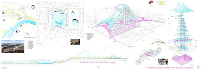
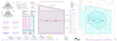
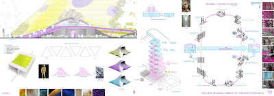
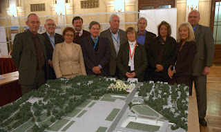
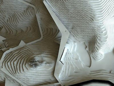
Questo è come si presentava il progetto allo stato di concorso.
Dopo aver passato un pomeriggio a modellare in Rhino ora ho un terrreno leggerissimo che posso manovrare nei vari software. La soluzione a gradoni ( curve di livello estruse) era troppo pesante per lavorarci.
Ho seguito il tutorial di Philix fatto tempo fà su Treddi.com, sempre su questa discussione si sono aperte delle idee su come automatizzare il tutto tramite script. Es. realizzare la mesh del terreno da un pointcloud.
Per ora ho provato ad esportare la nuvola di punti come file txt e portarlo su excel, in questo modo, una volta incolonnate le coordinate x, y e z dei punti si ha un maggior controllo, non resta che aprirlo in rhino ed avere una nuvola di punti corretta. Sarà molto utile quando avrò i dati climatici trasposti in excel e poi buttati su rhino per creare superfici controllate e realtivi diagrammi. Cè un plugin infatti che fa tutto ciò...si chiama PointCloud 1.0.
----to be continued


